
EUROFINS ENVIRONMENT TESTING SPAIN
La Red de Empresas Líder en Análisis y Controles Ambientales


Descubre todos nuestros servicios ambientales
Nuestra red de Laboratorios y Entidades de Inspección Acreditadas distribuidos por todo el territorio nacional, nos convierten en el proveedor de servicios ambientales líder en nuestro país.

Consultoría Ambiental
Proyectos de Consultoría especializada en el área del medio ambiente y sostenibilidad para empresas y organismos públicos ejecutados por equipos especializados.
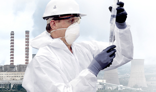
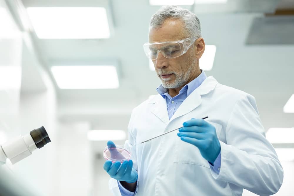
Entidad de Inspección
Centros acreditados como Entidad de Inspección por ENAC en la mayoría de los ámbitos del Medio Ambiente. Inspecciones y control ambiental bajo acreditación ENAC.
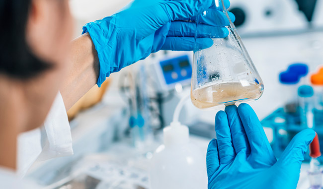
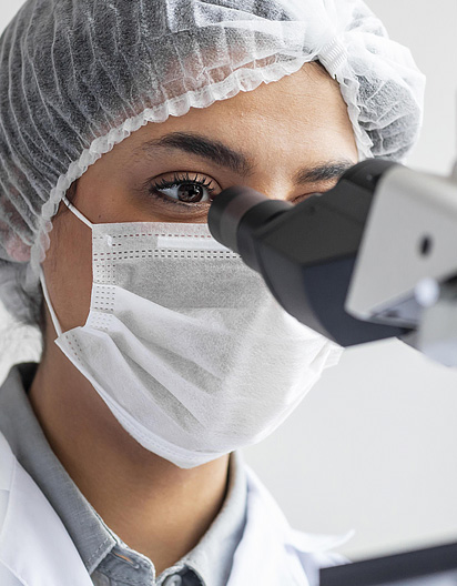
Laboratorio Medioambiental
Somos la red de laboratorios medioambientales con mayor alcance de España, equipado con los últimos avances tecnológicos para el análisis de todo tipo de matrices ambientales y en todo el territorio nacional.
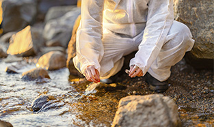
Trabajos de Campo
Muchos de nuestros servicios requieren un avanzado trabajo de campo, contando con equipos especializados y la más alta tecnología para alcanzar la máxima calidad.
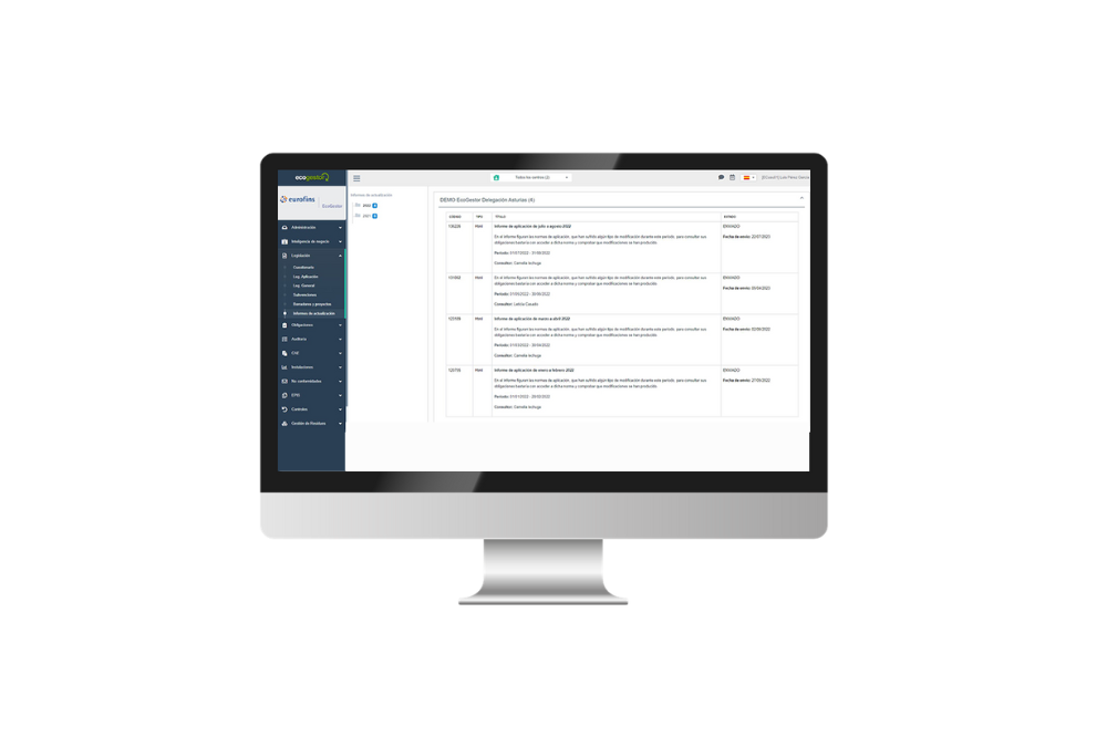
Soluciones Digitales
Desarrollamos soluciones digitales para gestión ambiental y PRL ayudando a las empresas en su camino hacia la digitalización e innovación, con la máxima especializacion.
Máximo Alcance, Máxima Especialización
A través de nuestra amplia red de centros especializados, realizamos análisis y controles en todas las matrices ambientales, lo que nos convierte en el proveedor líder en gestión ambiental. Consulta todos nuestros servicios.
Nuestros ámbitos de actuación
Laboratorios especializados en Aguas. Máximo alcance y Máxima especialización en materia de Aguas.
Estudios integrales en materia de suelos y aguas subterráneas bajo acreditación ENAC. Máxima especialización.
Entidad de inspección Acreditada y Laboratorio de Ensayo Acreditado por ENAC en Materia de Residuos.
Controles atmosféricos acreditados y consultoría especializada en materia atmosférica.
Especialistas en Acústica Ambiental y Acústica Marina. Servicios integrales en el ámbito de ruido.
Especialistas en evaluación, control y seguimiento de Ecosistemas Acuáticos e Hidrología.
Laboratorios Especializados en Análisis de Fibras de Asbestos con las últimas tecnologías del mercado.
Laboratorios Especializados en Análisis y Caracterización de Microplásticos con técnicas avanzadas.
Laboratorios homologados para análisis y caracterización de ADN ambiental.
A LA VANGUARDIA TECNOLÓGICA
LO ÚLTIMO EN INNOVACIÓN Y TECNOLOGÍA
Nuestra red de centros y laboratorios están provistos de las últimas tecnologías. Trabajamos continuamente en el desarrollo de nuevos proyectos con una marcada línea innovadora.
¿Qué nos diferencia?
¿Por qué somos la red de laboratorios medioambientales de referencia?
01. Máxima Calidad
Cumplimos los más altos estándares de calidad
02. Máxima Acreditación
Nos avalan nuestras acreditaciones ENAC
03. Rapidez
Tus resultados a tiempo
04. Alcance geográfico
Presencia geográfica en todo el territorio
05. Servicos integrales
Cubrimos todas las necesidades ambientales
06. Tecnología y digitalización
La innovación y la digitalización están en nuestro ADN

EUROFINS Live: Resultados inmediatos en tu móvil
Herramienta permite que nuestros clientes conozcan a tiempo real, de manera ágil y desde cualquier dispositivo compatible, los resultados de sus muestras. También permite descargar diferentes datos y documentación de interés para su negocio o bien crear alertas específicas y personalizadas. El mismo sistema ofrece un servicio online de atención al cliente que permite resolver de forma ágil, segura y personalizada cualquier incidencia.
Con EUROFINS Live facilitamos a nuestros clientes más control y personalización ya que, mediante un sistema de alertas, pueden recibir notificaciones cuando sus analíticas están disponibles. Este sistema permite, además, agilizar los procedimientos de los clientes.
Eurofins Environment Testing Spain
Comprometidos con la calidad de nuestro servicio y con el desarrollo de nuevos proyectos de investigación basados en la innovación y tecnología de última generación.
EUROFINS ENVIRONMENT TESTING SPAIN
Pertenece a Eurofins Scientific
Eurofins, con una red internacional de más de 900 laboratorios en 54 países, es líder mundial en laboratorios de medioambiente, laboratorio de diagnóstico clínico, servicios para medicina forense, análisis de productos farmacéuticos, alimentarios y de consumo en general, reuniendo todas las cualidades que le otorgan esa posición líder en el mercado como laboratorio independiente de referencia internacional.
Muestras Analizadas
Técnicos Especializados
Parámetros Analizados
Nuestras acreditaciones nos avalan
Desarrollamos nuestro trabajo según los más rigurosos estándares de calidad. Disponemos de acreditaciones ENAC como laboratorio y entidad de inspección que avalan nuestro servicio. La calidad, el respeto al medio ambiente y el servicio eficiente hacia nuestros clientes son los parámetros que rigen la actividad de Eurofins Environment Testing Spain.
Aportamos soluciones que crean valor para la construcción de un entorno más sostenible.